Schedule
1st day
Tokyo-Tokushima (ANA)
2nd day
Tokushima-Minokoshi (2 hours by rental car)
3rd day
Tokushima-Tokyo(ANA)
Record
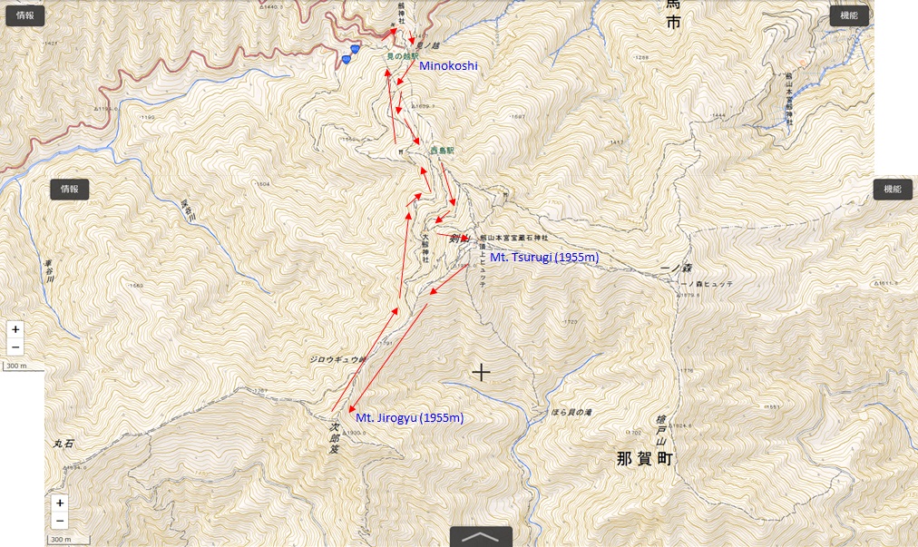
Trail to Mt, Tsurugi (1955m) and Mt. Jirogyu(1930m)
Distance 9.5 km
Time 7 hrs
Start point elevation 1405m
Highest point 1955m
Elevation gain 550m
GPS(Parking lot) 33°52'02" N 134°05'14" E
Mt. Tsurugi is one of the 100 mountains in Japan and 2nd highest mountain in Shikoku island.
The mountain shape is so soft like woman and loved by local residents, although the location is far from the Tokushima city.
From Tokushima city, you can reach Minokoshi, base area through route 438.
Start at steps to Tsurugi shrine through the Torii gate.
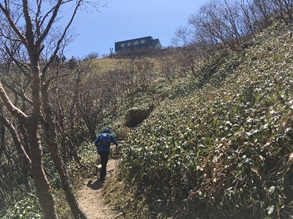
Go up with the side trail of climbing lift (Ski lift).
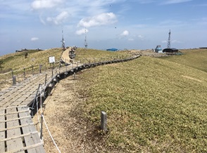
At the top, you can see many mountains.
Unfortunately, there is no signs written in English.

Mt. Tsurugi from Kawai Toge (Elv.760m, route 438) Mt. Miune (1894m) at Minokoshi Summit hut

Mt. Jorogyu from top of Mt.Tsurugi Wide space at the top of Mt. Tsurugi Mt. Tsurugi from Mt. Jirogyu

Back